Seven ancient maps of the Americas
Antique maps, remarkable cartographic fictions, reflect not just how we once saw geography, but abstract issues of power and fantasy.
A map is not the territory.
—Alfred Korzybski
Maps are never merely maps. They’re human projections, metaphors in which we find both the geographical and the imaginary. The cases of ghost islands—pieces of land which never existed but which appear on maps—are clear examples of this. Maps are blueprints of our territories, of our fears, desires and, above all, of our relationships with power.
Long before geolocation technology, maps were made up of elements which were not always part of the planet’s geographical reality: accounts of sailors and explorers that often became legends transmitted by word of mouth, cartographic errors and, on rare occasions, territories which had existed but which disappeared due to hurricane or earthquake —such was Pactolus Bank, an island discovered in 1885 and visited by the famous pirate, Sir Francis Drake, but which at some point disappeared into the sea.
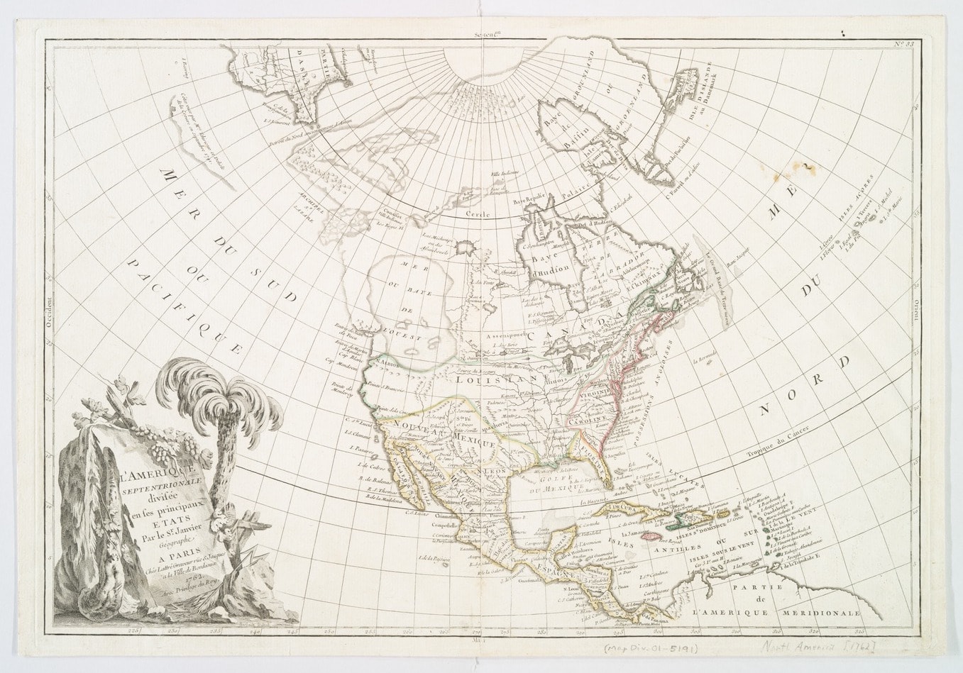
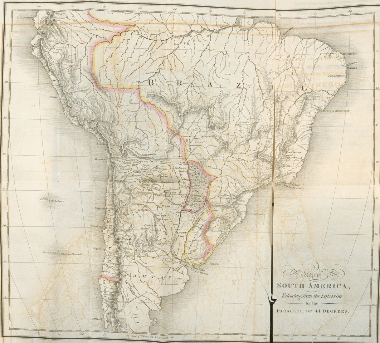
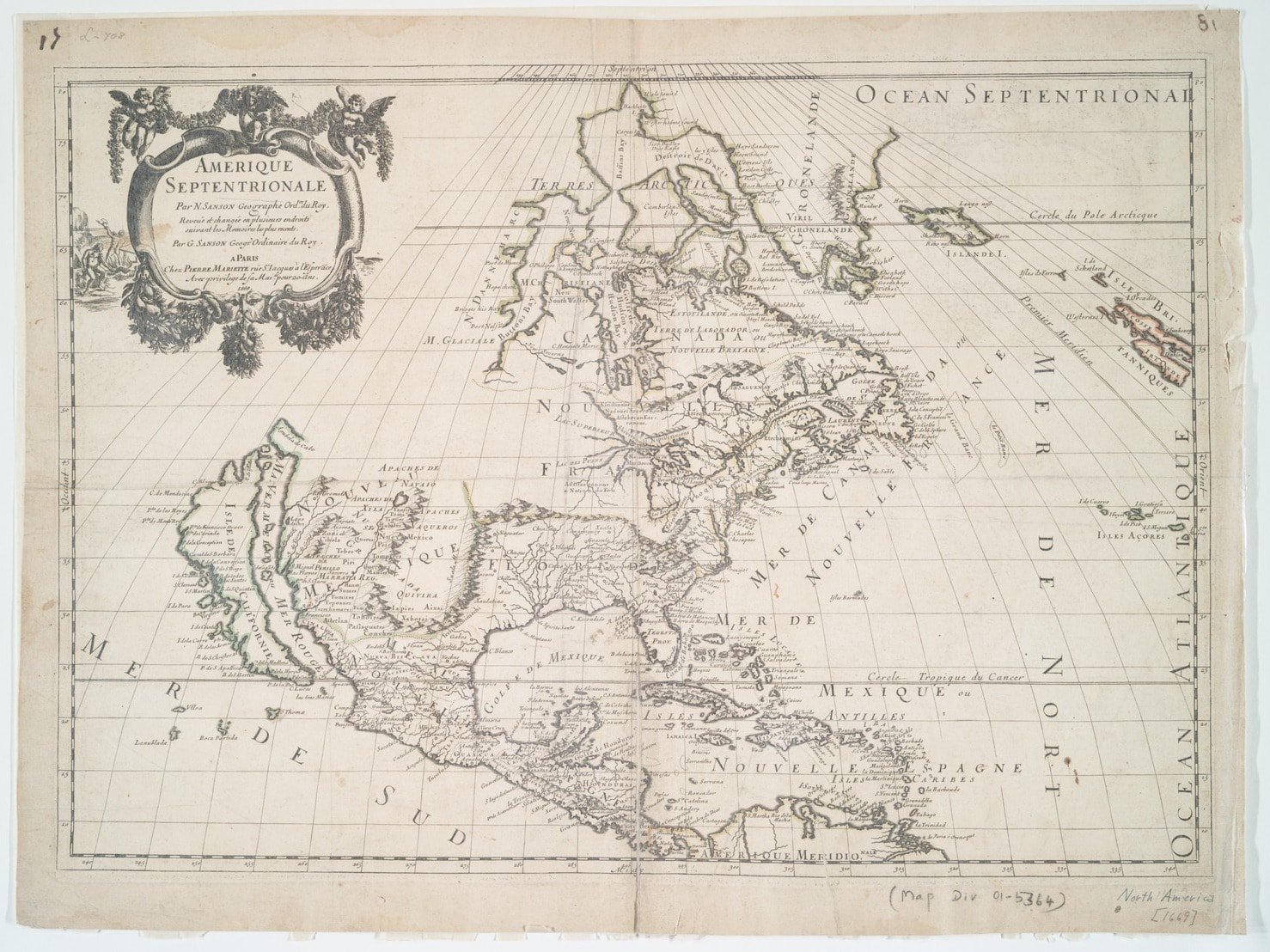
The history of cartography is thus also a narrative of human history and of relationships between the lands and seas that humans believe they possess. Such a history is immersed in the political and the ontological, the fanciful and the allegorical. Maps are the way we narrate ourselves as earthly beings, as members of a continent, a country, or a city. The case of the Americas, a territory drawn repeatedly by European conquerors, has its own complexity. Suffice it to recall Brazil’s strange place on maps for decades, as an island near Ireland, before the Americas were discovered; the many depictions of the Baja California peninsula as an elongated island disconnected from the rest of the continent; or the legendary sea once appeared on the maps of North America though it never existed.
From a distance as physical as it is cultural, Europeans mapped America in countless ways; as a promised land and as newly discovered loot. Below is a brief selection of antique maps of the Americas.


Related Articles
When ancient rituals became religion
The emergence of religions irreversibly changed the history of humanity. It’s therefore essential to ask when and how did ancient peoples’ rituals become organized systems of thought, each with their
An artist crochets a perfect skeleton and internal organs
Shanell Papp is a skilled textile and crochet artist. She spent four long months crocheting a life-size skeleton in wool. She then filled it in with the organs of the human body in an act as patient
A musical tribute to maps
A sequence of sounds, rhythms, melodies and silences: music is a most primitive art, the most essential, and the most powerful of all languages. Its capacity is not limited to the (hardly trivial)
The enchantment of 17th-century optics
The sense of sight is perhaps one the imagination’s most prolific masters. That is why humankind has been fascinated and bewitched by optics and their possibilities for centuries. Like the heart, the
Would you found your own micro-nation? These eccentric examples show how easy it can be
Founding a country is, in some ways, a simple task. It is enough to manifest its existence and the motives for creating a new political entity. At least that is what has been demonstrated by the
Wondrous crossings: the galaxy caves of New Zealand
Often, the most extraordinary phenomena are “jealous of themselves” ––and they happen where the human eye cannot enjoy them. However, they can be discovered, and when we do find them we experience a
Think you have strange reading habits? Wait until you've seen how Mcluhan reads
We often forget or neglect to think about the infinite circumstances that are condensed in the acts that we consider habitual. Using a fork to eat, for example, or walking down the street and being
The sky is calling us, a love letter to the cosmos (video)
We once dreamt of open sails and Open seas We once dreamt of new frontiers and New lands Are we still a brave people? We must not forget that the very stars we see nowadays are the same stars and
The sister you always wanted (but made into a crystal chandelier)
Lucas Maassen always wanted to have a sister. And after 36 years he finally procured one, except, as strange as it may sound, in the shape of a chandelier. Maassen, a Dutch designer, asked the
The doom-laden 19th century talking dolls
For more elegant and courageous generations than our own, there were talking dolls made of porcelain. Beings with hand-painted faces and robotic torsos and with an internal sound mechanism, activated


